
ffff topographic map
Interactive map
Click on the map to display elevation.
About this map
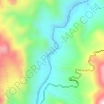
Name: ffff topographic map, elevation, terrain.
Location: ffff, Nam Trà My District, Quang Nam Province, Vietnam (15.08881 108.09663 15.08969 108.09765)
Average elevation: 463 m
Minimum elevation: 282 m
Maximum elevation: 774 m