
Duck Creek topographic map
Interactive map
Click on the map to display elevation.
About this map
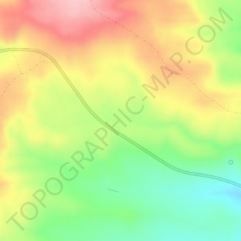
Name: Duck Creek topographic map, elevation, terrain.
Location: Duck Creek, Rich County, Utah, United States (41.80042 -111.24255 41.80066 -111.23700)
Average elevation: 2,148 m
Minimum elevation: 2,063 m
Maximum elevation: 2,234 m
Other topographic maps
Click on a map to view its topography, its elevation and its terrain.
Black Mountain
United States > Utah > Rich County
Black Mountain, Rich County, Utah, United States
Average elevation: 2,157 m