
Barton Heights topographic map
Interactive map
Click on the map to display elevation.
About this map
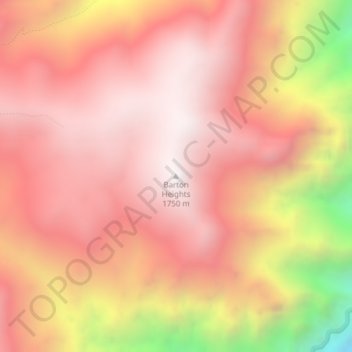
Name: Barton Heights topographic map, elevation, terrain.
Location: Barton Heights, Wallowa County, Oregon, United States (45.28511 -116.69936 45.28521 -116.69926)
Average elevation: 1,337 m
Minimum elevation: 448 m
Maximum elevation: 1,735 m