
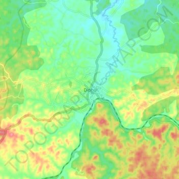
Rongpharbi Rongbe;Diphu topographic map
Interactive map
Click on the map to display elevation.
About this map
Name: Rongpharbi Rongbe;Diphu topographic map, elevation, terrain.
Average elevation: 192 m
Minimum elevation: 158 m
Maximum elevation: 247 m
Diphu is located at 25°50′N 93°26′E / 25.83°N 93.43°E / 25.83; 93.43. It has an average elevation of 186 metres (610 feet). It is about 270 km by road and 213 km by railways from Guwahati. The town is located on a beautiful hill.