
Bhongir topographic map
Interactive map
Click on the map to display elevation.
About this map
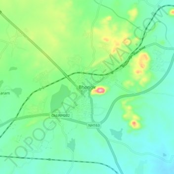
Name: Bhongir topographic map, elevation, terrain.
Average elevation: 447 m
Minimum elevation: 388 m
Maximum elevation: 620 m
Bhuvanagiri is located at 17°30′39″N 78°53′20″E / 17.5108°N 78.8889°E / 17.5108; 78.8889. It has an average elevation of 329 metres (1,079 ft).