
Rostved topographic map
Interactive map
Click on the map to display elevation.
About this map
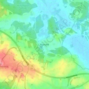
Name: Rostved topographic map, elevation, terrain.
Location: Rostved, Syddjurs Municipality, Denmark (56.28954 10.50329 56.32954 10.54329)
Average elevation: 27 m
Minimum elevation: -2 m
Maximum elevation: 94 m