
Clarion River topographic map
Interactive map
Click on the map to display elevation.
About this map
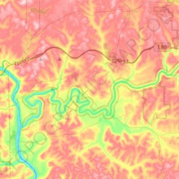
Name: Clarion River topographic map, elevation, terrain.
Average elevation: 396 m
Minimum elevation: 254 m
Maximum elevation: 502 m
Other topographic maps
Click on a map to view its topography, its elevation and its terrain.
Kingsville
United States > Pennsylvania > Clarion County
Kingsville, Limestone Township, Clarion County, Pennsylvania, 15864, United States
Average elevation: 454 m
Fryburg
United States > Pennsylvania > Clarion County
Fryburg, Washington Township, Knox Township, Clarion County, Pennsylvania, 16326, United States
Average elevation: 491 m
Knox Township
United States > Pennsylvania > Clarion County
Knox Township, Clarion County, Pennsylvania, 16235, United States
Average elevation: 455 m