
Sakurai topographic map
Interactive map
Click on the map to display elevation.
About this map
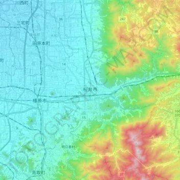
Name: Sakurai topographic map, elevation, terrain.
Location: Sakurai, Takaichi County, Nara Prefecture, Japan (34.44328 135.81821 34.59172 135.94752)
Average elevation: 230 m
Minimum elevation: 38 m
Maximum elevation: 886 m