
Point Clear topographic map
Interactive map
Click on the map to display elevation.
About this map
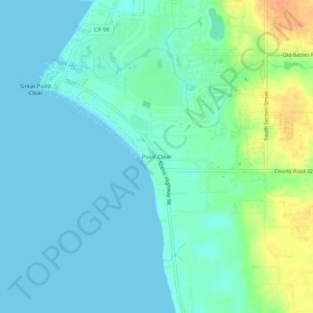
Name: Point Clear topographic map, elevation, terrain.
Location: Point Clear, Baldwin County, Alabama, 36564, United States (30.45408 -87.93916 30.49408 -87.89916)
Average elevation: 10 m
Minimum elevation: 0 m
Maximum elevation: 40 m