
Craik topographic map
Interactive map
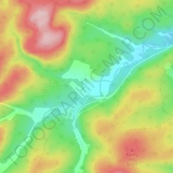
Click on the map to display elevation.
About this map
Name: Craik topographic map, elevation, terrain.
Location: Craik, Scottish Borders, Scotland, TD9 7PS, United Kingdom (55.34401 -3.04850 55.38401 -3.00850)
Average elevation: 289 m
Minimum elevation: 189 m
Maximum elevation: 423 m