
Pennine topographic map
Interactive map
Click on the map to display elevation.
About this map
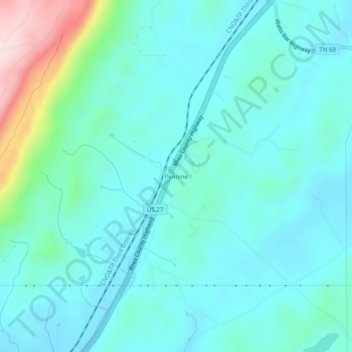
Name: Pennine topographic map, elevation, terrain.
Location: Pennine, Rhea County, Tennessee, United States (35.61674 -84.91606 35.65674 -84.87606)
Average elevation: 292 m
Minimum elevation: 232 m
Maximum elevation: 571 m