
Shirakawa topographic map
Interactive map
Click on the map to display elevation.
About this map
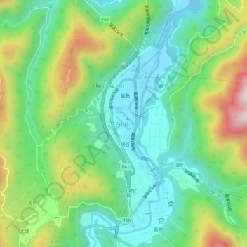
Name: Shirakawa topographic map, elevation, terrain.
Location: Shirakawa, Ono County, Gifu Prefecture, Japan (36.25121 136.87867 36.29121 136.91867)
Average elevation: 667 m
Minimum elevation: 462 m
Maximum elevation: 1,095 m