
Mount Agassiz topographic map
Interactive map
Click on the map to display elevation.
About this map
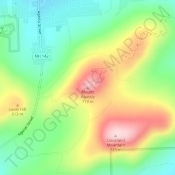
Name: Mount Agassiz topographic map, elevation, terrain.
Average elevation: 558 m
Minimum elevation: 437 m
Maximum elevation: 731 m
Other topographic maps
Click on a map to view its topography, its elevation and its terrain.
Bethlehem
United States > New Hampshire > Grafton County > Bethlehem
Bethlehem, Grafton County, New Hampshire, 03574, United States
Average elevation: 528 m