
Biruru topographic map
Interactive map
Click on the map to display elevation.
About this map
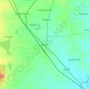
Name: Biruru topographic map, elevation, terrain.
Average elevation: 797 m
Minimum elevation: 757 m
Maximum elevation: 916 m
It has an average elevation of 833 metres (2732 feet). It is also called the Gateway of Malnad region. As of 2001 India census, Birur had a population of 22,601.