
Prairie Home topographic map
Interactive map
Click on the map to display elevation.
About this map
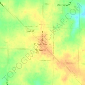
Name: Prairie Home topographic map, elevation, terrain.
Location: Prairie Home, Cooper County, Missouri, United States (38.80782 -92.59761 38.81937 -92.58591)
Average elevation: 263 m
Minimum elevation: 240 m
Maximum elevation: 277 m