
Summerville topographic map
Interactive map
Click on the map to display elevation.
About this map
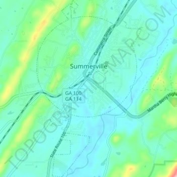
Name: Summerville topographic map, elevation, terrain.
Location: Summerville, Chattooga County, Georgia, 30747, United States (34.44864 -85.36680 34.49996 -85.32924)
Average elevation: 217 m
Minimum elevation: 184 m
Maximum elevation: 341 m