
Cuyahoga Heights topographic map
Interactive map
Click on the map to display elevation.
About this map
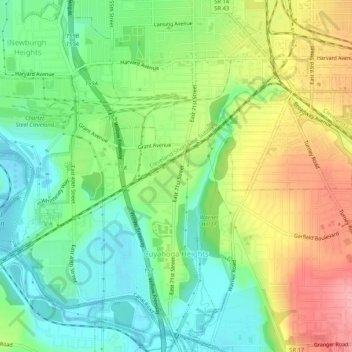
Name: Cuyahoga Heights topographic map, elevation, terrain.
Location: Cuyahoga Heights, Cuyahoga County, Ohio, United States (41.41548 -81.68452 41.45525 -81.63270)
Average elevation: 222 m
Minimum elevation: 177 m
Maximum elevation: 288 m