
pasni topographic map
Interactive map
Click on the map to display elevation.
About this map
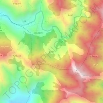
Name: pasni topographic map, elevation, terrain.
Location: pasni, Dhanaulti, Tehri Garhwal, Uttarakhand, India (30.27215 78.22533 30.31215 78.26533)
Average elevation: 1,437 m
Minimum elevation: 938 m
Maximum elevation: 1,933 m