
Holly Springs topographic map
Interactive map
Click on the map to display elevation.
About this map
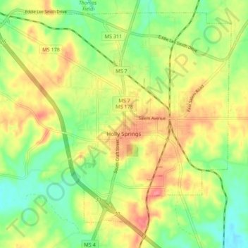
Name: Holly Springs topographic map, elevation, terrain.
Location: Holly Springs, Marshall County, Mississippi, United States (34.73934 -89.49547 34.80115 -89.41185)
Average elevation: 164 m
Minimum elevation: 130 m
Maximum elevation: 200 m