
Dhāri topographic map
Interactive map
Click on the map to display elevation.
About this map
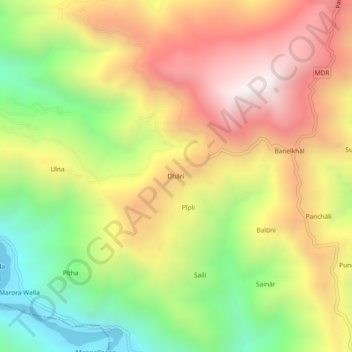
Name: Dhāri topographic map, elevation, terrain.
Location: Dhāri, Pauri, Pauri Garhwal, Uttarakhand, 246175, India (29.97667 78.64778 30.01667 78.68778)
Average elevation: 1,145 m
Minimum elevation: 499 m
Maximum elevation: 1,788 m