
Gray Court topographic map
Interactive map
Click on the map to display elevation.
About this map
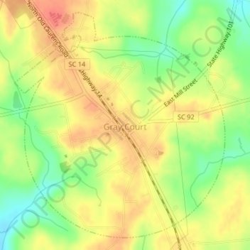
Name: Gray Court topographic map, elevation, terrain.
Location: Gray Court, Laurens County, South Carolina, United States (34.59618 -82.12789 34.62049 -82.10034)
Average elevation: 230 m
Minimum elevation: 199 m
Maximum elevation: 254 m
Other topographic maps
Click on a map to view its topography, its elevation and its terrain.
Black Gate
United States > South Carolina > Laurens County > Black Gate
Black Gate, Laurens County, South Carolina, 29332, United States
Average elevation: 146 m