
Türkmeşen topographic map
Interactive map
Click on the map to display elevation.
About this map
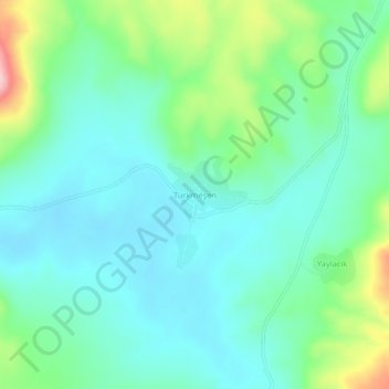
Name: Türkmeşen topographic map, elevation, terrain.
Location: Türkmeşen, Digor, Kars, Eastern Anatolia Region, Turkey (40.35738 43.21021 40.39738 43.25021)
Average elevation: 2,253 m
Minimum elevation: 2,201 m
Maximum elevation: 2,413 m