
Le Sueur topographic map
Interactive map
Click on the map to display elevation.
About this map
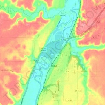
Name: Le Sueur topographic map, elevation, terrain.
Location: Le Sueur, Le Sueur County, Minnesota, United States (44.43149 -93.93210 44.51062 -93.85559)
Average elevation: 263 m
Minimum elevation: 216 m
Maximum elevation: 306 m