
Sheffield topographic map
Interactive map
Click on the map to display elevation.
About this map
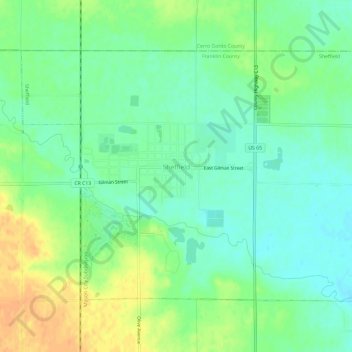
Name: Sheffield topographic map, elevation, terrain.
Location: Sheffield, Franklin County, Iowa, United States (42.87676 -93.24154 42.90769 -93.18242)
Average elevation: 334 m
Minimum elevation: 320 m
Maximum elevation: 355 m