
Ban Talat Khilek topographic map
Interactive map
Click on the map to display elevation.
About this map
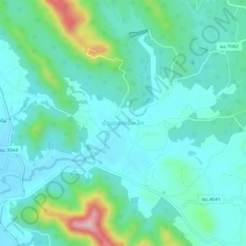
Name: Ban Talat Khilek topographic map, elevation, terrain.
Location: Ban Talat Khilek, Chiang Mai Province, Thailand (18.81832 99.18651 18.85832 99.22651)
Average elevation: 388 m
Minimum elevation: 339 m
Maximum elevation: 581 m