
Enekpalle topographic map
Interactive map
Click on the map to display elevation.
About this map
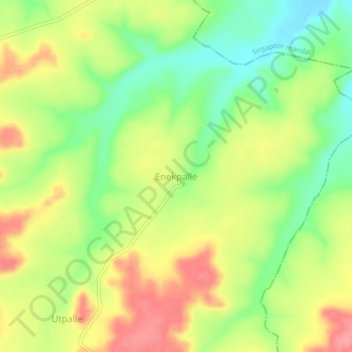
Name: Enekpalle topographic map, elevation, terrain.
Location: Enekpalle, Nagalgidda mandal, Sangareddy, Telangana, India (18.07488 77.62867 18.11488 77.66867)
Average elevation: 518 m
Minimum elevation: 473 m
Maximum elevation: 564 m