
Himani Chamunda topographic map
Interactive map
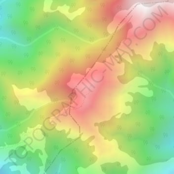
Click on the map to display elevation.
About this map
Name: Himani Chamunda topographic map, elevation, terrain.
Average elevation: 2,349 m
Minimum elevation: 1,758 m
Maximum elevation: 2,971 m
Other topographic maps
Click on a map to view its topography, its elevation and its terrain.
Qasba
India > Himachal Pradesh > Palampur
Qasba, Palampur, Kangra District, Himachal Pradesh, 176083, India
Average elevation: 802 m
Mansimbal
India > Himachal Pradesh > Palampur
Mansimbal, Palampur, Kangra, Himachal Pradesh, 176085, India
Average elevation: 968 m