
Lond topographic map
Interactive map
Click on the map to display elevation.
About this map
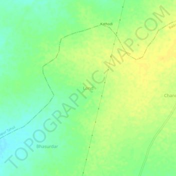
Name: Lond topographic map, elevation, terrain.
Location: Lond, Badoda Tahsil, Sheopur, Madhya Pradesh, 476339, India (25.56491 76.61951 25.60491 76.65951)
Average elevation: 248 m
Minimum elevation: 236 m
Maximum elevation: 258 m