
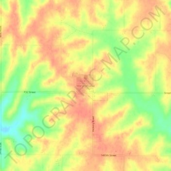
Westphalia topographic map
Interactive map
Click on the map to display elevation.
About this map
Name: Westphalia topographic map, elevation, terrain.
Location: Westphalia, Shelby County, Iowa, 51578, United States (41.69970 -95.41495 41.73970 -95.37495)
Average elevation: 426 m
Minimum elevation: 391 m
Maximum elevation: 445 m