
Whitehouse topographic map
Interactive map
Click on the map to display elevation.
About this map
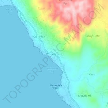
Name: Whitehouse topographic map, elevation, terrain.
Location: Whitehouse, Westmoreland, Cornwall County, Jamaica (18.07086 -77.98696 18.11086 -77.94696)
Average elevation: 57 m
Minimum elevation: -1 m
Maximum elevation: 256 m