
James Hamilton Heritage Park topographic map
Interactive map
Click on the map to display elevation.
About this map
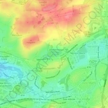
Name: James Hamilton Heritage Park topographic map, elevation, terrain.
Average elevation: 173 m
Minimum elevation: 138 m
Maximum elevation: 213 m
Other topographic maps
Click on a map to view its topography, its elevation and its terrain.
East Kilbride
United Kingdom > Scotland > East Kilbride
East Kilbride, South Lanarkshire, Scotland, United Kingdom
Average elevation: 177 m