
Lille topographic map
Interactive map
Click on the map to display elevation.
About this map
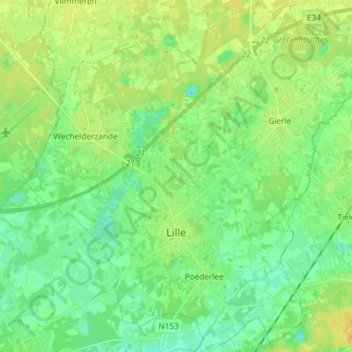
Name: Lille topographic map, elevation, terrain.
Location: Lille, Antwerp, Flanders, 2275, Belgium (51.20695 4.76131 51.29899 4.90729)
Average elevation: 16 m
Minimum elevation: 6 m
Maximum elevation: 28 m