
Rago topographic map
Interactive map
Click on the map to display elevation.
About this map
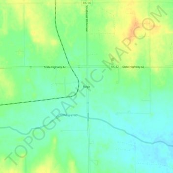
Name: Rago topographic map, elevation, terrain.
Location: Rago, Kingman County, Kansas, USA (37.43280 -98.10173 37.47280 -98.06173)
Average elevation: 447 m
Minimum elevation: 434 m
Maximum elevation: 466 m