
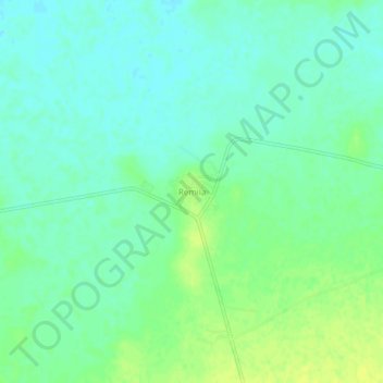
R'mila topographic map
Interactive map
Click on the map to display elevation.
About this map
Name: R'mila topographic map, elevation, terrain.
Location: R'mila, Kaïs District, Khenchela, Algeria (35.55111 6.87883 35.59111 6.91883)
Average elevation: 861 m
Minimum elevation: 853 m
Maximum elevation: 871 m