
Clark Creek Natural Area topographic map
Interactive map
Click on the map to display elevation.
About this map
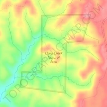
Name: Clark Creek Natural Area topographic map, elevation, terrain.
Average elevation: 82 m
Minimum elevation: 20 m
Maximum elevation: 130 m