
Gurney topographic map
Interactive map
Click on the map to display elevation.
About this map
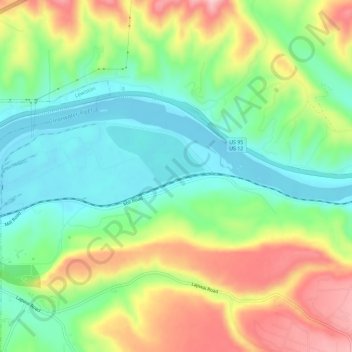
Name: Gurney topographic map, elevation, terrain.
Location: Gurney, Nez Perce County, Idaho, 83501, United States (46.40627 -116.97182 46.44627 -116.93182)
Average elevation: 307 m
Minimum elevation: 222 m
Maximum elevation: 441 m