
Anatolia topographic map
Interactive map
Click on the map to display elevation.
Anatolia
Anatolia (Turkish: Anadolu), also known as Asia Minor, is a large peninsula or a region in Turkey, constituting most of its contemporary territory. Geographically, the Anatolian region is bounded by the Mediterranean Sea to the south, the Aegean Sea to the west, the Turkish Straits to the north-west, and the Black Sea to the north. The eastern and southeastern boundary is either the southeastern and eastern borders of Turkey, or an imprecise line from the Gulf of Iskenderun to the Black Sea. Topographically, the Sea of Marmara connects the Black Sea with the Aegean Sea through the Bosporus strait and the Dardanelles strait, and separates Anatolia from Thrace in the Balkan peninsula of Southeastern Europe.
About this map
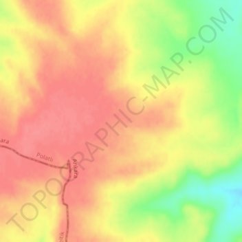
Name: Anatolia topographic map, elevation, terrain.
Average elevation: 952 m
Minimum elevation: 907 m
Maximum elevation: 974 m