
Hubbard County topographic map
Interactive map
Click on the map to display elevation.
About this map
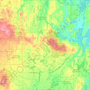
Name: Hubbard County topographic map, elevation, terrain.
Location: Hubbard County, Minnesota, United States (46.80393 -95.18275 47.41236 -94.65540)
Average elevation: 445 m
Minimum elevation: 391 m
Maximum elevation: 568 m
Other topographic maps
Click on a map to view its topography, its elevation and its terrain.
Akeley
United States > Minnesota > Hubbard County
Akeley, Hubbard County, Minnesota, United States
Average elevation: 431 m