
Sarah topographic map
Interactive map
Click on the map to display elevation.
About this map
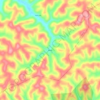
Name: Sarah topographic map, elevation, terrain.
Location: Sarah, Elliott County, Kentucky, 41160, USA (38.04203 -82.98044 38.08203 -82.94044)
Average elevation: 290 m
Minimum elevation: 217 m
Maximum elevation: 337 m