
Archaeological Park topographic map
Interactive map
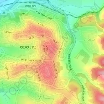
Click on the map to display elevation.
About this map
Name: Archaeological Park topographic map, elevation, terrain.
Average elevation: 264 m
Minimum elevation: 192 m
Maximum elevation: 339 m
Other topographic maps
Click on a map to view its topography, its elevation and its terrain.
Bet Shemesh
Israel > Jerusalem District > Bet Shemesh
Bet Shemesh, Jerusalem District, 9901312, Israel
Average elevation: 321 m