
Woodington topographic map
Interactive map
Click on the map to display elevation.
About this map
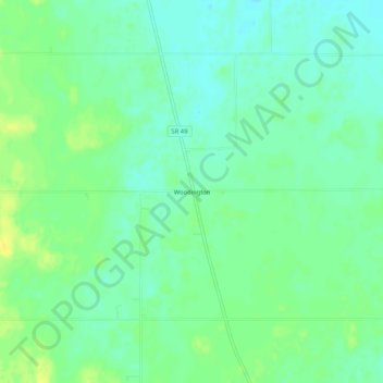
Name: Woodington topographic map, elevation, terrain.
Location: Woodington, Darke County, Ohio, USA (40.15838 -84.69774 40.19838 -84.65774)
Average elevation: 315 m
Minimum elevation: 306 m
Maximum elevation: 328 m