
Killehenny topographic map
Interactive map
Click on the map to display elevation.
About this map
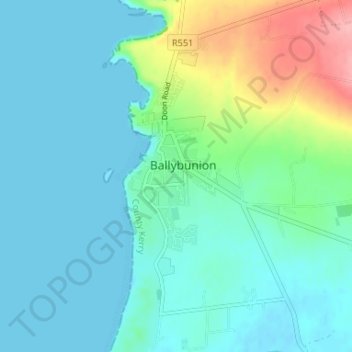
Name: Killehenny topographic map, elevation, terrain.
Location: Killehenny, Ballybunion, County Kerry, Munster, Ireland (52.48981 -9.69146 52.52981 -9.65146)
Average elevation: 23 m
Minimum elevation: 0 m
Maximum elevation: 110 m