
Amma topographic map
Interactive map
Click on the map to display elevation.
About this map
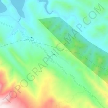
Name: Amma topographic map, elevation, terrain.
Location: Amma, بخش گچی, Malekshahi County, Ilam Province, Iran (33.44170 46.41259 33.48170 46.45259)
Average elevation: 1,180 m
Minimum elevation: 963 m
Maximum elevation: 1,689 m