
Koribondo topographic map
Interactive map
Click on the map to display elevation.
About this map
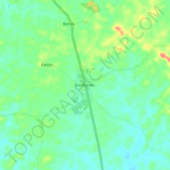
Name: Koribondo topographic map, elevation, terrain.
Location: Koribondo, Bo District, Southern Province, Sierra Leone (7.67008 -11.73283 7.75008 -11.65283)
Average elevation: 74 m
Minimum elevation: 54 m
Maximum elevation: 124 m