
Frombork topographic map
Interactive map
Click on the map to display elevation.
About this map
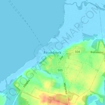
Name: Frombork topographic map, elevation, terrain.
Average elevation: 8 m
Minimum elevation: -5 m
Maximum elevation: 41 m
Other topographic maps
Click on a map to view its topography, its elevation and its terrain.
Działy
Poland > Warmian-Masurian Voivodeship > Braniewo County > Stępień
Działy, Stępień, gmina Braniewo, Braniewo County, Warmian-Masurian Voivodeship, Poland
Average elevation: 21 m