
City of Rye topographic map
Interactive map
Click on the map to display elevation.
About this map
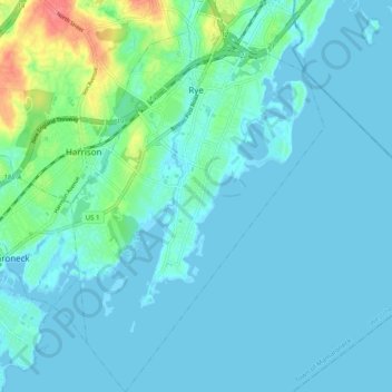
Name: City of Rye topographic map, elevation, terrain.
Location: City of Rye, Westchester County, New York, United States (40.92321 -73.71584 40.99783 -73.65192)
Average elevation: 9 m
Minimum elevation: -3 m
Maximum elevation: 64 m