
Port Huron topographic map
Interactive map
Click on the map to display elevation.
About this map
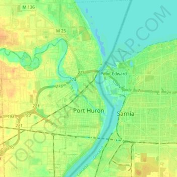
Name: Port Huron topographic map, elevation, terrain.
Location: Port Huron, Saint Clair County, Michigan, United States (42.93685 -82.46653 43.04125 -82.39903)
Average elevation: 185 m
Minimum elevation: 173 m
Maximum elevation: 199 m
Other topographic maps
Click on a map to view its topography, its elevation and its terrain.