
Atherton topographic map
Interactive map
Click on the map to display elevation.
About this map
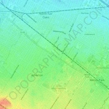
Name: Atherton topographic map, elevation, terrain.
Location: Atherton, San Mateo County, California, 94027, USA (37.44133 -122.21774 37.48133 -122.17774)
Average elevation: 16 m
Minimum elevation: 1 m
Maximum elevation: 43 m