
Anegada topographic map
Interactive map
Click on the map to display elevation.
About this map
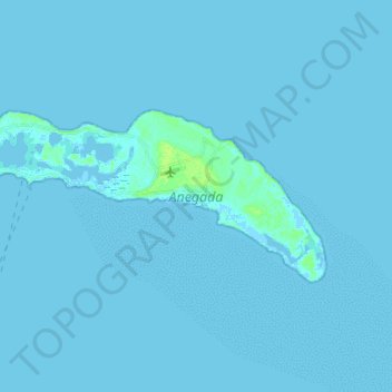
Name: Anegada topographic map, elevation, terrain.
Location: Anegada, The Settlement, British Virgin Islands (18.68864 -64.41658 18.74958 -64.27041)
Average elevation: 0 m
Minimum elevation: -4 m
Maximum elevation: 9 m