
Alveley topographic map
Interactive map
Click on the map to display elevation.
About this map
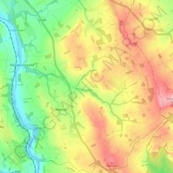
Name: Alveley topographic map, elevation, terrain.
Location: Alveley, Shropshire, West Midlands, England, United Kingdom (52.43534 -2.37829 52.49823 -2.28839)
Average elevation: 114 m
Minimum elevation: 23 m
Maximum elevation: 217 m